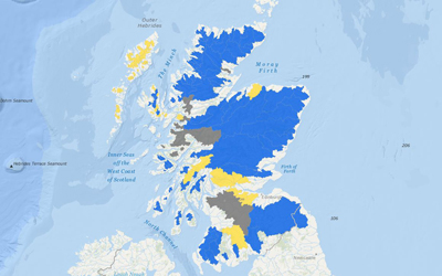
At our AGM in 2019, we ran a workshop jointly with Marine Scotland to discuss the roll out of a project to map the severity and extent of a wide range of pressures acting on wild Atlantic salmon.. The project provided fisheries managers with a common platform to share local knowledge and to identify and quantify the primary factors limiting Atlantic salmon production in Scotland. Ultimately, outputs from this process will be available for use by local managers to inform and target management action and also to provide important evidence for policy development at a national level.
 A web-based data collection and mapping tool was developed by Scottish Fisheries Coordination Centre and in 2020, Fisheries Management Scotland made a successful application to the Maritime and Fisheries Fund to support our members in contributing to this important process. Following an initial quality assurance process, further funding from Marine Scotland was secured in 2021 to allow our members to refine their contributions and to put forward the sources of data that underpin information on salmon pressures. This novel information resource will be available for use by local fisheries managers to inform and target conservation actions and also to provide important evidence for policy development at a national level. Threats requiring further investigation are also identified and the results of this process will be made available here to include:
- Interactive colour coded maps for local catchments and river reaches showing the extent and impact of key salmon pressures
- Summary information showing the river length and wetted area affected by each pressure
- A summary report, describing the results at a local, regional and national scale.
We expect the outputs of this project to be made available in summer 2022.
